Charoen Krung: the road that taught Bangkok to move on land
Before Charoen Krung, Bangkok was a city read from the water. Boats carried people, goods and news; canals were streets. Then, in the 1860s, one new road began to change the direction of the city.
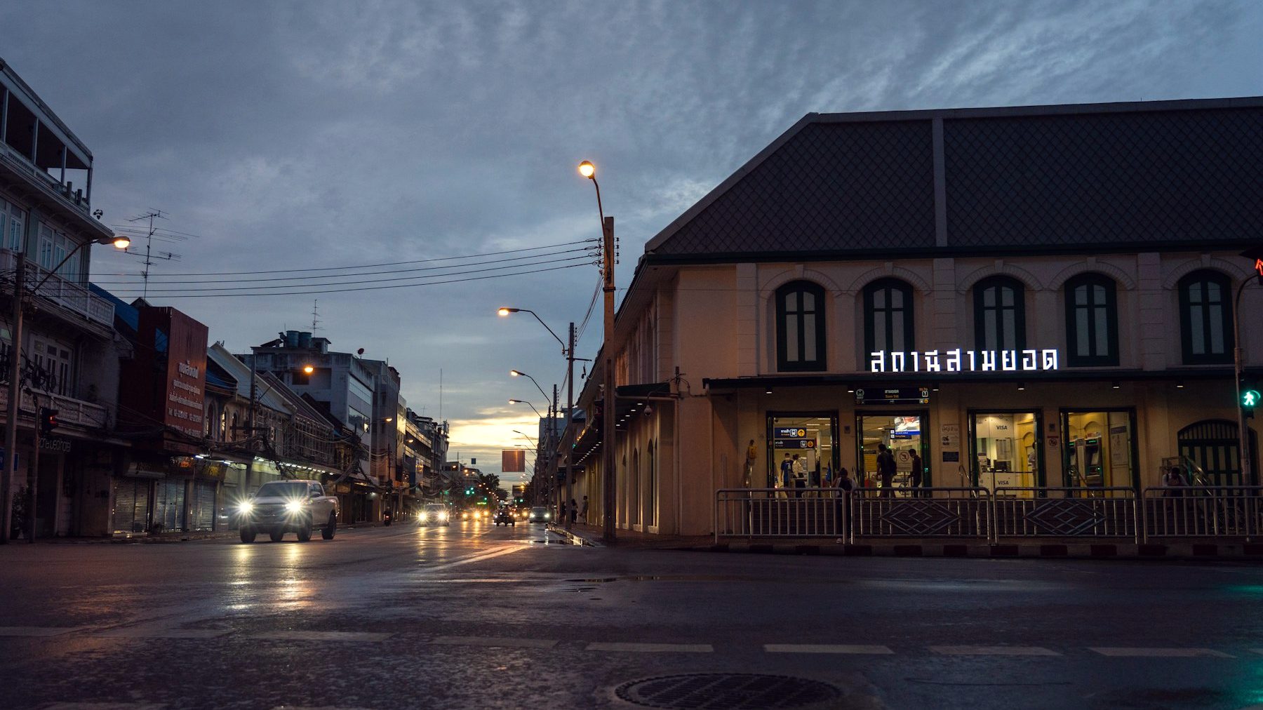
Old Bangkok at dusk, along the city’s first modern road. · Photo: rektplorer64 / Unsplash
Today, Charoen Krung can be difficult to read at first. Parts of it feel old and almost domestic; other sections are busy, commercial and loud. There are churches, shrines, warehouses, hotels, shophouses, galleries and pockets of street life that seem to belong to entirely different Bangkoks.
That is exactly the point. Charoen Krung is not merely an old road. It is where Bangkok began learning how to be a land-based city — without ever fully ceasing to be a city of water.
A request for somewhere to ride
The story begins in 1861, when foreign consuls in Siam petitioned King Mongkut, Rama IV, for a proper road. Their complaint was almost absurdly specific: Bangkok had nowhere suitable for carriages and horse riding.
But the request landed at a moment of much larger change. Siam was opening further to international trade after the Bowring Treaty of 1855. Foreign merchants, diplomats and businesses were becoming more visible along the river. The canal network moved boats brilliantly, but it couldn’t answer every need of a city changing its relationship with the outside world.
King Mongkut’s response was more than a riding track for foreigners. The new road became a statement of modernization: Siam could build infrastructure for a new era on its own terms. Construction began in 1861 and continued over the following years, with the involvement of the British diplomat and engineer Henry Alabaster. It was first known as Thanon Mai — “New Road” — before the king named it Charoen Krung, roughly “prosperity of the city.” The name was ambitious. The road was meant to point forward.
Bangkok’s first modern road
Charoen Krung was Bangkok’s first modern paved road, running along the eastern side of the Chao Phraya and linking the old city with the southern riverfront communities. It didn’t replace the canals overnight — boats and the river still mattered — but the balance had shifted.
A road creates different habits from a canal. Shops turn their fronts toward the pavement rather than the water. Goods arrive by cart as well as boat. Buildings are valued for their street frontage. Side lanes become useful. A neighborhood can grow away from the riverbank. Charoen Krung helped make all of that possible.
It also shaped the future map of Bangkok. The riverside remained crucial, but streets began to pull the city inland — the logic that would eventually carry Bangkok out along roads like Sukhumvit. That is why Charoen Krung matters even to visitors who never walk its full length: it is an early blueprint for the city that came later.
The road didn’t create the communities — it connected them
A common mistake is to treat Charoen Krung as empty land suddenly made important by modernity. The area was already full of life. Chinese merchants and families had long lived and traded in the northern sections near Sampheng and Talat Noi. Thai-Muslim, Thai-Catholic and European communities had established their own places along the river and nearby streets. The road didn’t invent this diversity; it made the connections between these communities more visible and commercially useful.
That layered history is still written into the street. Around Bang Rak, Catholic institutions, old schools, mosques, riverside warehouses and diplomatic buildings stand within a short walk of one another. Further north, Chinese shrines, shophouses and family businesses carry a different memory. No single style dominates, because no single community built Charoen Krung. It became a shared spine for a city that was already multilingual, multi-faith and commercially restless.
The thing built to represent the future has become a record of the past.
The old “New Road”
There is a useful contradiction in Charoen Krung’s original nickname. For nineteenth-century Bangkok, it was the New Road: a symbol of land travel, new trade and international exchange. Today it is one of the city’s most historic streets.
That is why its newer reputation as a creative district feels natural. Designers, artists, restaurateurs and independent businesses have been drawn to the old buildings because Charoen Krung was always a place where global influences met local life. The current version is not a reinvention. It is another layer.
The best way to experience the street is not to hunt only for the newest opening or the most photographed façade. Look for the moments where its eras overlap: an old shophouse beside a new café; a school gate opening onto a street built for horse-drawn carriages; a church bell, a call to prayer and traffic on a road that once seemed radically modern.
What this road teaches about Bangkok
Bangkok can feel chaotic because it never grew from a single plan. It grew through water routes, royal projects, migration, trade, private development, side streets and sudden leaps in infrastructure. Charoen Krung holds all of those forces in one long line.
It shows that “old Bangkok” is not only temples and palaces. It is also commerce, mixed communities, schools, warehouses and practical decisions about how people move through a city. And it explains why Bangkok is so good at coexistence: a gallery in a former warehouse, a family shop near a luxury hotel, a century-old religious community inside a district that changes every year.
Walk Charoen Krung slowly enough and Bangkok stops looking like a skyline. It becomes a series of decisions: where to build, where to trade, where to pray, where to live — and, eventually, where to lay down a road.
FAQ
It was Bangkok’s first modern paved road. Before it was built, canals and the river were the city’s main transport network, though paths and smaller roads already existed.